
SEATTLE — Puget Sound Extended Forecast
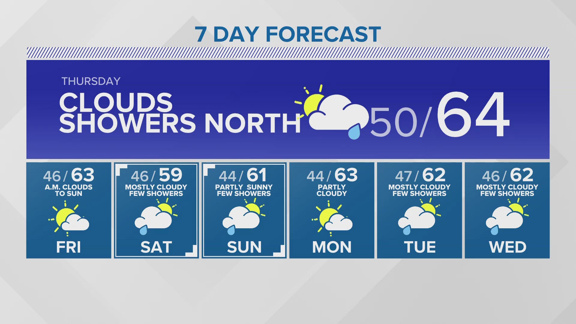
Thursday: Mostly cloudy. Increasing chance of showers in the afternoon especially north of Seattle. Lows in the low 50s. Highs in the low to mid 60s. degrees.
Friday: Morning clouds to mostly sunny. Lows in the upper 40s. Highs in the mid 60s.
Saturday: Mostly cloudy with off and on light showers. Lows in the upper 40s. Highs in the upper 50s to lower 60s.
Sunday: Partly sunny. Chance of a few showers. Lows in the upper 40s. Highs in the mid 60s.
Monday: Partly sunny. Lows in the low to mid 40s. Highs in the low to mid 60s.
Tuesday: Partly sunny. Chance of a few showers. Lows in the low to mid 40s. Highs in the low to mid 60s.
Discussion:
Say goodbye to 70s!
Thursday, a weak disturbance moves southward along the coast of British Columbia and spreads clouds and a few off and on showers into western Washington, especially in the afternoon north of Seattle. Rainfall quantities will be minimal. Gusts up to 25-35 MPH are likely Thursday afternoon.
Friday will see a brief break in the chance of showers with more sun by the afternoon. Saturday, another weak system will drop down from the north for more clouds and a chance of a few showers. Sunday and Monday look mostly dry but cool temperatures in the upper 50s and low 60s continue.
As we near the halfway point for the year, Seattle is still unseasonably dry and has lower rain totals than other major west coast cities. Since January 1, Sea-Tac has observed just 13.89" of rain. That's less than San Francisco (14.8"), Los Angeles (15.89") and Portland (19.98"). With no major rain chances in the forecast, this dry trend for WA will continue.